The Front Range of Waterton - Mount Richards
Distance: 10 km / 6.2 mi (round trip)
Time: 8 to 10 hours (plan a full day)
Elevation Gain: 900 m / 2952 ft
|
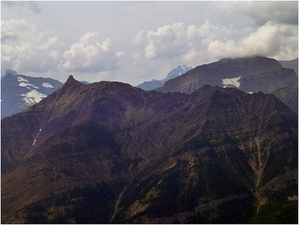
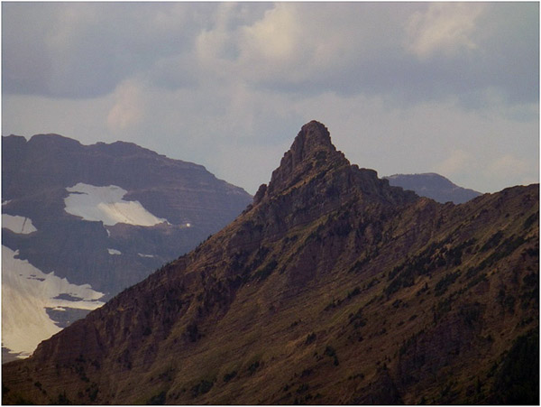
It was a day my buddy John and I thought it was best to go it alone. Neither of us had peaked Richards before. We had a brief description of the hike from one of our friends who worked for Parks Canada. Go to the back of Bertha Lake, climb the scree to the saddle of the ridge and then go to the back side of the peak and climb up. The description was accurate but we wished we were told to drop down from the saddle to avoid some technical stuff and take easy way to the back side (south side) of the peak. The false peak is to the left or east of the saddle. It is not even the ridge you can see from the town site of Waterton which is lower yet than the false peak. Below is a picture of Richards from Vimy Ridge which shows the three peaks which clearly shows the peak named as the real peak is accurate. |
|
|
|
|
|
|
|
Since we bagged the peak we have read the route in the “More Scrambles in the Canadian Rockies” by Andrew Nugara. He climbed all three peaks by climbing up the south side of Bertha lake a quarter of the way down the south shore and right as the shoreline turn from treed to scree. The peaked before the summit of the first peak and then followed the ridge over the false peak and then summated the way we did. This will be a much more difficult route than the one we took. Both our route and the Nugara route start by going to Bertha Lake. This took us an hour and fifteen minutes. Then we walked the north shoreline to the end of the lake. |
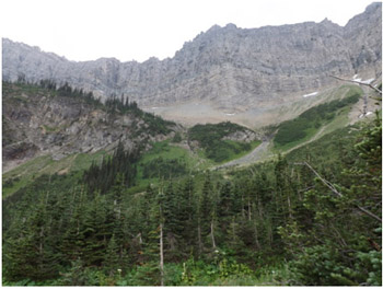
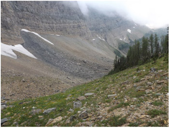
This is the headwall one climbs. We stayed to the South side. |
|
|
|
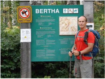
Jon in front of the Bertha trailhead sign. |
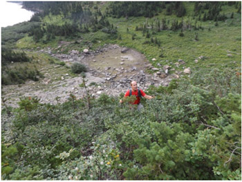
Jon, almost to the bench above the lake. Once up the scree you turn and head straight South. |
|
|
|
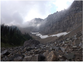
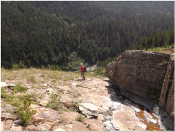
First view of the route to the saddle. |
Part way up the scree. |
|
|
|
Looking back on Bertha Lake. |
|
|
|
|
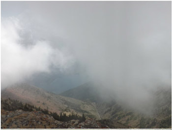
Once on the saddle the clouds overtook us and my pictures are not good. You can see Bertha Lake peaking out in this image, taken from the saddle. |
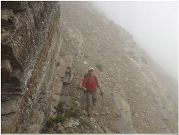
Once at the saddle drop below the ridge on the south side and head for the notch at the very bottom left of this picture. This is the only important part of the description to avoid technical scrambles with exposure or climbs. This picture is John on that route. |
|
|
|
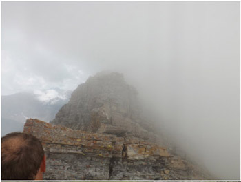
Richards looms in the distance. |
|
|
|
|
This picture shows the final ascent ot the peak. |
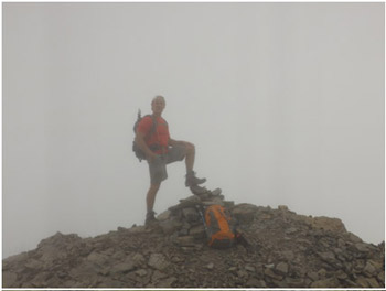
The peak is very small; quite the opposite of Mount Crandell or Sofa Mountain where there are massive table tops. We took a nap here and I woke myself up scared I was going to fall off because it was so small. |
|
|
|
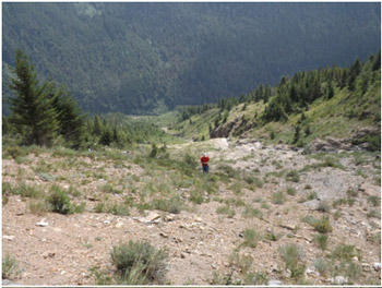
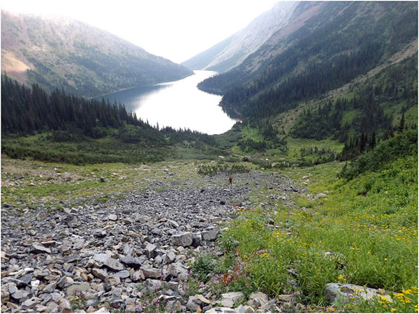
From the summit one can see right down the south sloop to the Boundary Creek trail. We followed the scree, the easiest way possible, and ultimately hit the boundary creek. |
It took much longer than we thought to get home. We peaked in less than five hours and then it took us over five hours to get home. It took us over two hours to hit the Boundary Creek Trail then we walked over ten K (six miles) on the trail to get back to the trail head which ends up Bertha trailhead. We took a nap here and I woke myself up scared I was going to fall off because it was so small. |
|
|
|
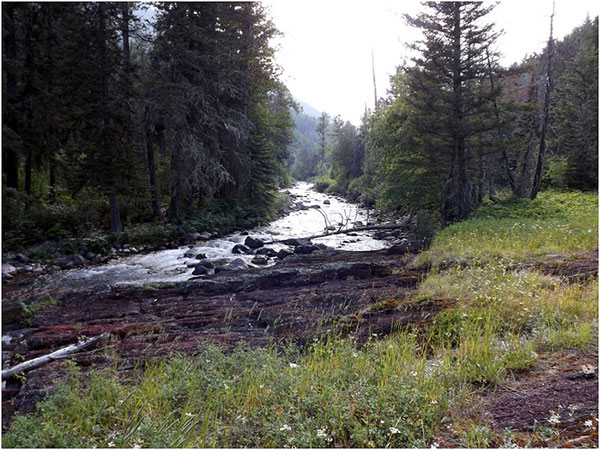
Looking back up the way we came once we hit Boundary Creek. |
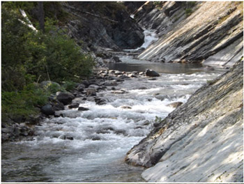
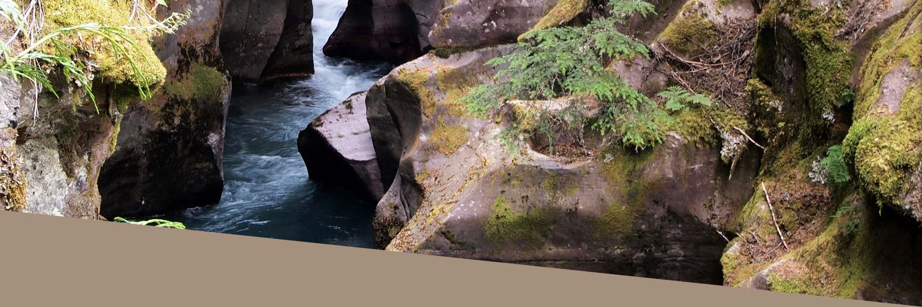
Boundary Creek is a great looking creek and the walk down the shoreline is surprisingly full of variety |
|
|
|
Boundary Creek. |
|