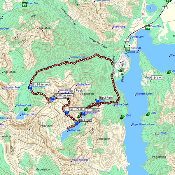
The Front Range of Waterton - Bertha Peak to Mount Alderson
Distance: 20 km / 12.4 mi (round trip)
Time: 8 to 10 hours (plan a full day)
Elevation Gain: 1150 m / 3772 ft
Download a .gpx file of our hike here. Just click the link and download and extract the Zip file: bertha_alderson.zip
|
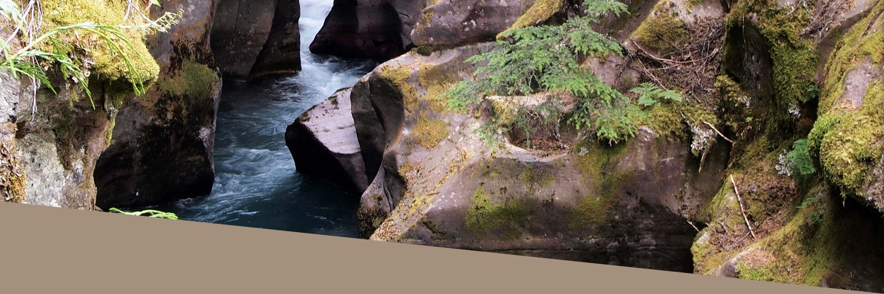
It is another beautiful, sunny day in Waterton Lakes National Park! We set out to summit Bertha Peak and return home on the Alderson Trail. Bertha lake is only 4 km from the trailhead, which starts in the townsite. It took us 1.5 hrs to hike to Bertha Lake. There were nine hikers in our group: seven in our 50’s, Christie (mid-20’s), and Clay (19). |
|
|
|
|
|
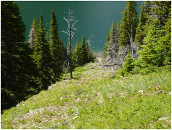
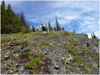
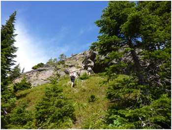
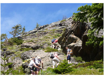
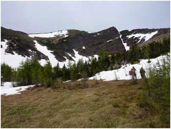
Once at the lake, you hike on the right side towards the campsite on the north shore of the lake. There is no single way up to Bertha Peak from here. One of the more common ways is to find the ridge approximately one-third of the way around the Lake. There is a meadow where you can see an outcropped ridge that ascends north (see Pictures 1 and 2 for a look at the ridge, a few minutes up from the trail. |
|
|
|
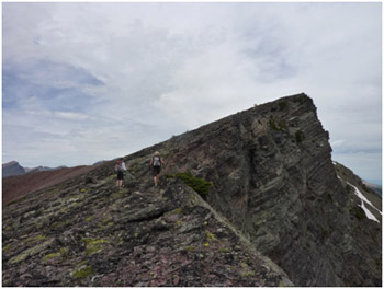
Continue to ascend the ridge on the West side. |
Ascending the Ridge |
|
|
|
Looking back at Bertha Lake. |
|
|
|
|
The top of the ridge leads to a beautiful Tamarak (Western Larch) bowl. |
In the bowl you can for the first time see Bertha Peak. |
|
|
|
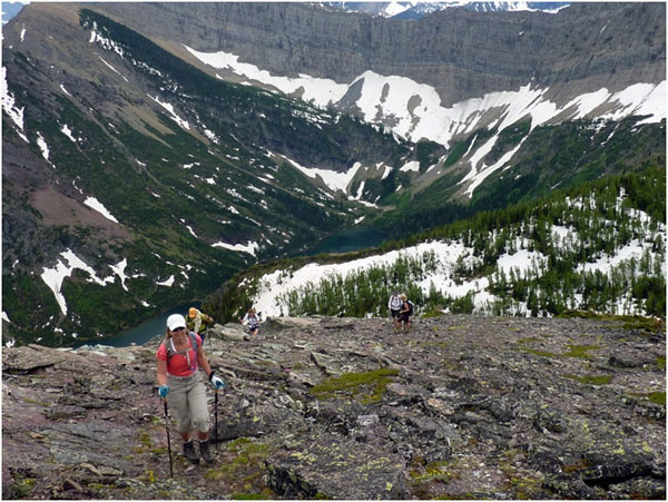
From the meadow we went to the south ridge of the bowl as you can the Upper Waterton Lakes and have great views. |
|
|
|
|
On this particular day, there were at least twenty people who also climbed to Bertha Peak. |
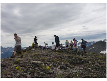
Just hanging out... |
|
|
|
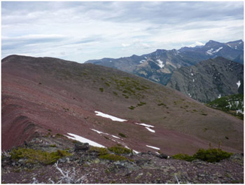
This image shows the "false" Bertha Peak which towers over the Waterton townsite. |
|
|
|
|
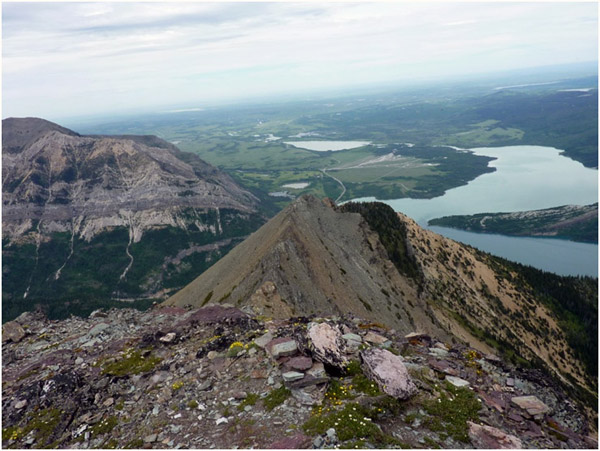
The best way to go down is to either return down the east ridge (the way we walked up), or do a loop by walking west on the Ridge and then descending at the center of the bowl. |
View looking back at the Peak. Either way down is fine. We followed the Ridge and instead of dropping back down into the Bertha Bowl, we dropped on the North side where Alderson trail runs back to the townsite. |
|
|
|
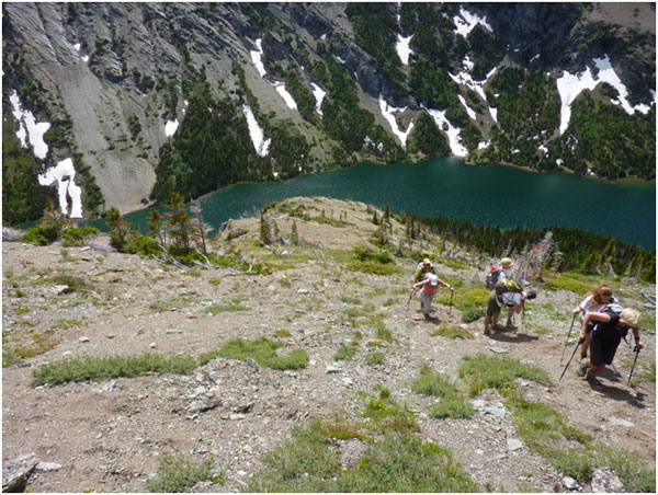
From the Ridge you can experience stunning views of both Carthew and Alderson Lakes. |
|
|
|
|
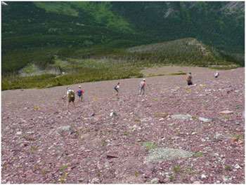
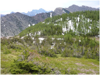
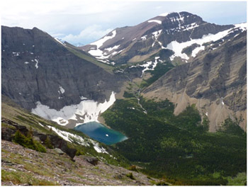
The trick to going down on to the Alderson Trail is to find the avalanche chute by going far more west towards Alderson Lake and then dropping down. You will see from Pictures to the right that we took the red rock slope down to the avalanche and then followed the creek on to the Alderson Trail. |
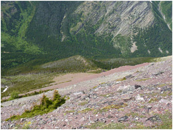
If you descend too soon, the Alderson Trail swings to the north and it will be hard to find. On the picture above you need to stay west (to the left) of the treed hump in the centre of the photo. |
|
|
|
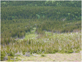
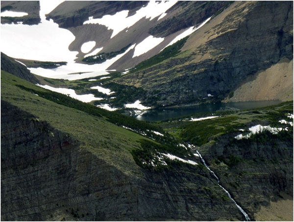
The picture above shows the avalanche chute that we followed down. If you follow that creek down you will hit the Alderson Trail. |
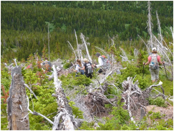
The bushwhacking is difficult for 30-45 minutes (as pictured above). In the avalanche chute we ran into a little black bear. Once we hit the Alderson Trail we went out to the townsite. The entire trip took us 9 ½ hours, with a long lunch at Bertha Peak. Keep on hiking. Lockey. |