Akamina Ridge
Distance: 20.0 km / 12.4 mi (round trip)
Time: 9 to 10 hours (plan a full day)
Elevation Gain: 1300 m / 4270 ft
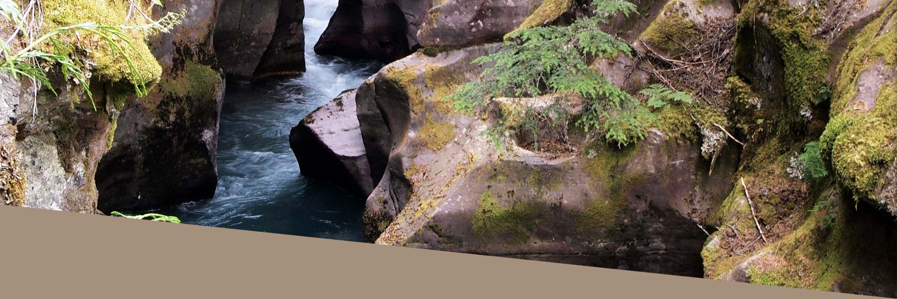
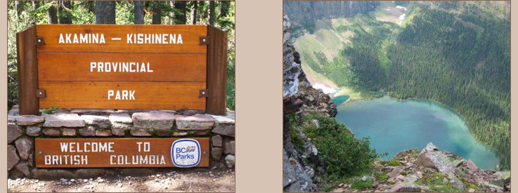
Your journey starts at the Akamina Pass trailhead about 1km from Cameron Lake along the Akamina Parkway. The trail starts out on a gentle slope. About 2km in you enter Akamina-Kishinena Provincial Park, shortly after this point and once you have taken the necessary pictures at the "Welcome to BC" sign you will have the options to go to either Forum Lake or Wall Lake to continue your hike. The Ridge is accessible from both but the difficulty upwards vary. This is where the trail really begins. The choice varies from the constant but relatively steady uphill trail to and from Forum Lake or the gentle long trail to Wall lake and then the sudden steep rise all the way up to the trail. You can bike up to Wall Lake but past this point the rest of the trail must be hiked.
The best option to start the hike to the ridge is considered Forum Lake. There is a constant but easy going rise up to the lake. A few 100 meters into the trek towards the lake you can take a quick detour to Forum Falls which is well worth the short visit. Just before you reach the lake you walk through a meadow of Beargrass and if you timing is right then they should be in full bloom, July is when they are at their peak. Once you reach the lake the trail branches off into the bush and then up the moderately steep slopes to the beginning of the ridge. Once the semi-maintained trail ends you scramble through the rock to reach forum peak, your starting point on the trail along the ridge. This can be very dangerous and take great care when doing so as you can knock rock or screed down on the person behind or even people coming up the slope behind you. Taking your time is advisable and on the ridge you can find the air thinner.
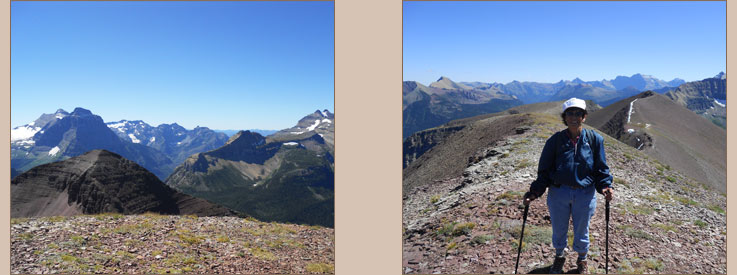
There are a couple of ridges to walk along, the 1st is along the side of mountain on screed so being careful is of the upmost importance. The ridge walking takes about an 1 hour to 1.5 hour depending on how much of a hurry you are in. The view from above is fantastic as you look into the Montana, BC and Alberta and you look down on the turqoise Wall Lake as you walk along the ridge. There is some affect from the thinner air at the top of the ridge and this can be felt by less experienced hikers or people of a nervous disposition. Once you have the 1st narrow section the surface becomes a lot more solid underfoot and the ridge widens making travel more comfortable making the view even more enjoyable. The descent from the ridge down to Wall lake is very steep and extreme care when descending is required as you can be caught out quite easily.
Wall Lake provides specatular views from below of the ridges you just travelled and the turqoise colored Wall Lake with an all-year round snow field at 1 end. The trail to and from Wall Lake is quite long and uneventful but the reward at Wall Lake is fantastic. The slope to the ridge from Wall Lake to the beginning of the ridge is very steep to climb as it is to come down. Once past or coming to Wall Lake, the trail flattens out and is quite uneventful but this may be a welcome change after coming down the steep slope of Wall Lake but generally at this point you want to make your way as quickly as possible to your vehicle but you have about 5-6km to go before you reach your mode of transport. The overall trip is about 20km and the elevation gained is roughly 4250ft, it depends on what map you use as there is a slight variance from various maps that are available but rest assured it is quite high. The time taken can vary from 6.5 hours to 8 hours depending on ability and urgency.