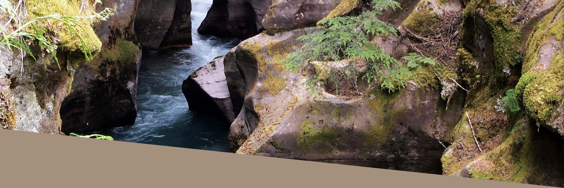
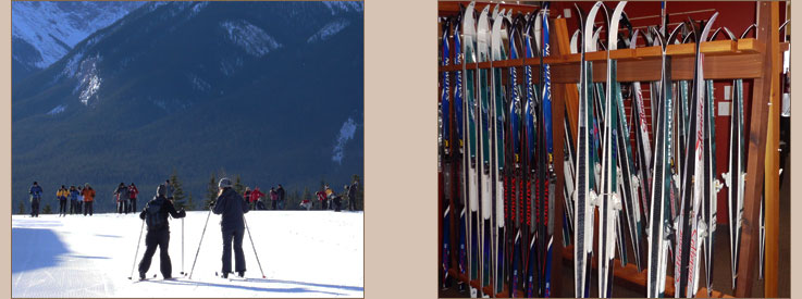
Waterton Cross Country Skiing
There are excellent opportunities for cross country skiing in Waterton Lakes National Park. Ski trails in Waterton are categorized as designated and non-designated. Designated trails are identified by trailhead signs describing degree of difficulty and other information. Track setting is carried out for weekend skiing. Skiers who venture off designated trails are advised to voluntarily self-register their activitiy at the Park Warden's office.
Skiers who venture off designated trails are advised to inform a friend or family member of their plans before heading out.
Weather in mountain parks can change without warning. Detailed avalanche forecasts and information regarding backcountry ski conditions are available by contacting a warden (403.859.2224) or by telephoning the Canadian Avalanche Association (1.800.667.1105).
| Name of Trail | Length | Trailhead | Description |
|---|---|---|---|
| Cameron Ski Trail (Designated) | 5.0 km / 3.1 mi (round trip) | Little Prairie Picnic Shelter on Akamina Parkway | This easy trail from Little Prairie Picnic Shelter to Cameron Lake is wide and flat, and on Akamina Parkway. Travel through a coniferous forest to a beautiful Cirque Basin (Cameron Lake), carved out by glacial ice and snow. |
| Dipper Ski Trail (designated) | 5.5 km / 3.4 mi (round trip) | Rowe Trailhead on Akamina Parkway | Following babbling Cameron Creek, this moderately difficult trail is a real wilderness experience! You will meander through wooded slopes, gliding over knolls and dips on this single width track. Your ski starts across from Rowe Trailhead and ends at the Little Prairie Picnic Shelter, or continue your adventure all the way to Cameron Lake! |
| Crandell Lake (undesignated) | 1.6 km / 1.0 mi (round trip) | Crandell Lake Trailhead on Akamina Parkway | Moderately Easy short trip to beautiful Crandell Lake. |
| Rowe Trail (undesignated) | 10.4 km / 6.5 mi (round trip) | Rowe Trailhead on Akamina Parkway | A difficult trail to Rowe Meadow. It is possible to visit Lower Rowe Lake prior to the meadow, or to continue beyond and visit Upper Rowe Lake. This is a natural trail and Skiers are advised to wear PIEPS and check Avalanche conditions. |
| Akamina Pass to British Columbia (undesignated) | 3.2 km / 2.0 mi (round trip) | 14.4 km on the Akamina Parkway | This moderately difficult trail takes you on a scenic tour into British Columbia. Skiers can continue to Wall Lake, Forum Lake, and/or further into British Columbia. This is a natural trail and Skiers are advised to wear PIEPS and check Avalanche conditions. |
| Summit Lake (undesignated) | 8.0 km / 4.9 mi (round trip) | East of the Lakeshore Parking Area at Cameron Lake where the bridge spans Cameron Creek | A difficult trail leading you to Summit Lake. This is a natural trail and Skiers are advised to wear PIEPS and check Avalanche conditions. |